October 27
Distance: 27.9 miles | Ascent: 5920′ | Descent: 5120′
Mile marker: 2271.9
Lunch: J&A – rice and beans with summer sausage (B+)
Dinner: J&A – potato with summer sausage (A-)
We use an app called FarOut as our main map and day planning tool. It has elevation profiles, distances, and user comments about water sources and tentsites and good benches along the trail. Almost everyone uses it, so it’s a great resource for getting fairly accurate info about current trail conditions.
On FarOut, the main trail is denoted by a red line. Side trails, spurs, or alternate pathes are blue lines. If a hiker sticks to the main trail, they’re called a ‘Red Line Purist.’ Taking an alternate or going down a sidetrail is called ‘Blue Blazing.’ Hikers blue blaze for several reasons: to go see something interesting that the main trail misses (like a special waterfall), take a shortcut and shave some miles off their day, or avoid a difficult section of trail.
We have been so exceedingly, extraordinarily lucky not to be forced off the main trail by closures, nor skip any significant sections. We’ve taken just a few Blue Blazes when the alternate has some point of interest that the Red Line misses (e.g., Crater Lake, Eagle Creek). Keeping to the red line, mostly, has become a blessing and a curse.
Since we haven’t been forced to detour or skip, we have the grand opportunity to complete the whole trail in one fell swoop. This is a rare feat. Therefore, at this point, we feel almost obligated to stick to the Red Line as much as we can. Even when there are shortcuts or easier paths along a forest road or parallel trail, we need to adhere to the Red Line. Even when other hikers take a road or skip a few miles via hitching, we stick to the Red Line. Even when a road lessens the total elevation gain in an otherwise mundane section, we stick to the Red Line. We’re stubborn. We’ve accidentally become Red Line Purists.
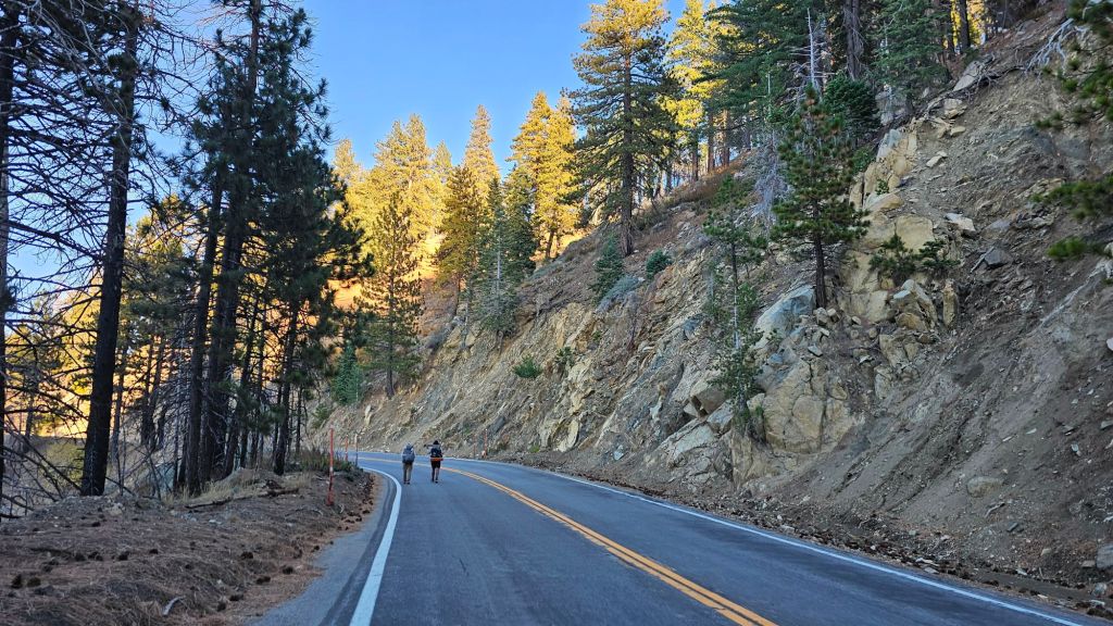
Today, we encountered a small section of the Red Line that is indefinitely closed for the protection of the endangered yellow-legged mountain frog and its critical habitat. We detoured via Highway 2 around this section to save the frogs. Even though we knew ahead of time we’d be making this detour, we could’ve followed the highway from a much earlier point to shorten our mileage considerably. Yet, we followed the Red Line right up to the closure before making the detour. This ended up adding several miles to our day. We acknowledge we are stubborn completionists, so perhaps we should have expected these Purist tendencies to arise.
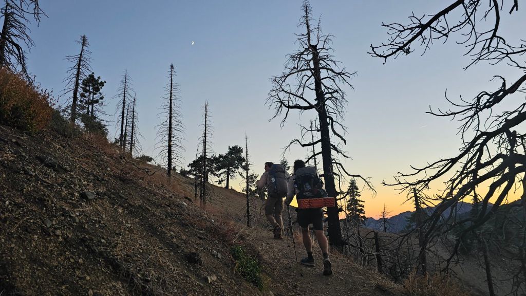
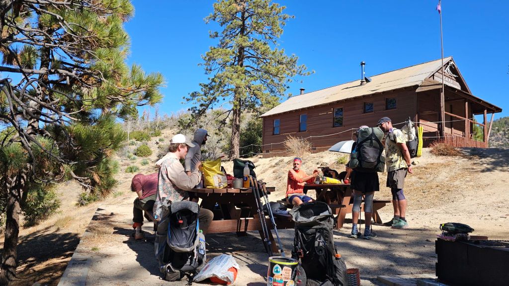
We camped with TimTam last night and hiked with him all day today. He was willing to entertain our plan to stay on trail as much as possible before the frog closure, and it was fun to have someone else to chat with on trail. We also ran into several hiker friends at lunch. Most are traveling solo or in pairs, but these days we seem to be clumping up often. It’s amazing how we often feel so thoroughly isolated on trail but can suddenly be surrounded by friends when we turn a corner.
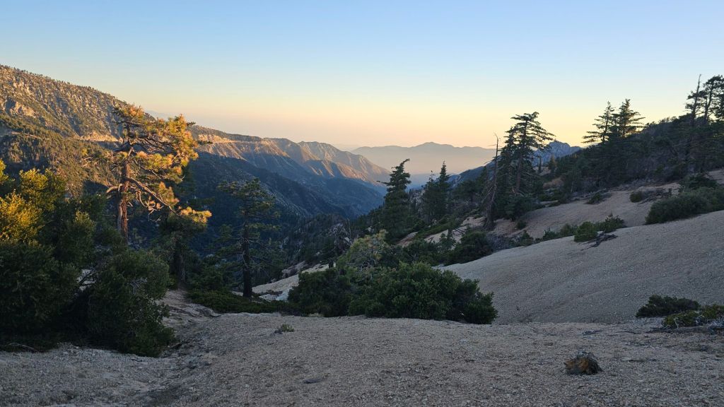
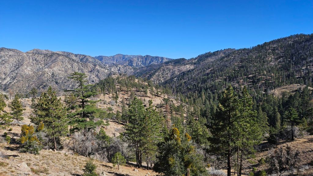
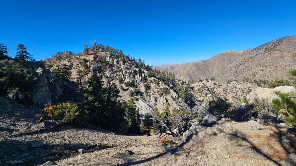
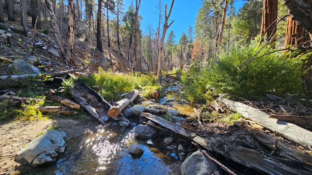
The trail itself wasn’t the most exciting. The high desert is neat but not as spectacular as some of the other stuff we’ve been through. A highlight was a beautiful creek with cold and tasty water! It is likely the best water we will find for the remainder of the trail, so we took a break at the creek to camel up and enjoy the creek.
We had a steep climb and descent at the end of the day before the three of us rolled into a campsite at the base of Mount Baden-Powell. We hit some snow patches on the way to the campsite. They have snow in LA County right now? That’s a surprise. We didn’t do our homework about trail conditions, having assumed the snow challenges were behind us. We JUST sent our microspikes home. But, unless it’s a truly dangerous and dumb thing to do, we’ll take our Red Line through the snow tomorrow.