October 5
Distance: 13 miles | Ascent: 2430′ | Descent: 3630′
Mile marker: 1824.1
Lunch: J&A – ham and Swiss croissant (A+, A+)
Dinner: J – chili and rice (A-), A – chicken parm (A)
We got a ride to the trailhead from Richard, an older man who says he likes helping out thruhikers for the conversation. When he stopped to pick us up, his first question was, how do we feel about dogs? In his Prius, he had a pack of four rescues, all with some Spaniel in them. We all squeezed in for the ride up to the trailhead. Our packs, full with six days of food and extra clothing, are the largest they’ve been and nearly take up a seat by themselves.
The dogs took to us quickly. Marley, who required a warning from Richard, was unusually well-behaved and fell asleep on Jason’s leg. Finley sat between us before jumping up mid-drive to lay on Richard’s lap. The eldest pup lay up in the front seat with a paw resting on the center column. Bentley, presumably imprisoned for some heinous crimes, was in a crate in the back. All the dogs quieted and napped as we drove up to the trailhead and talked with Richard. Also, the back pocket of the driver’s seat was packed with tennis balls. It was a lovely drive.
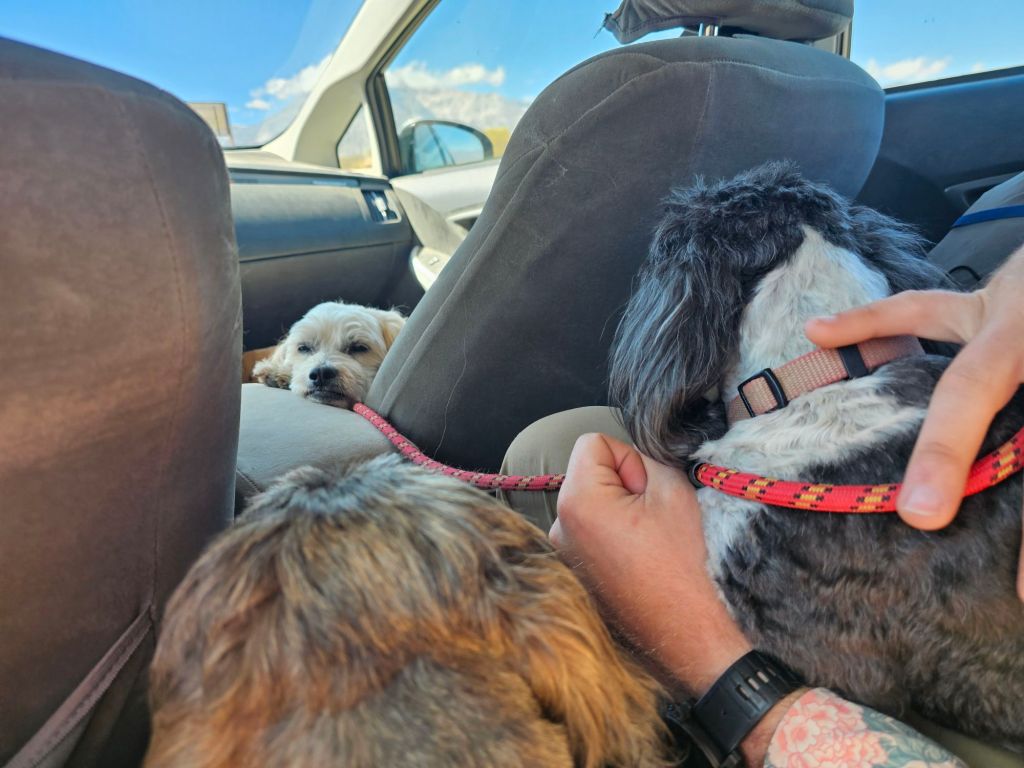
Richard dropped us off as close to the trail as possible. He was planning to take his dogs for a short walk around. After profusely thanking Richard and saying our farewells, we started back over Bishop Pass.
Most of our stops are not directly on trail. Snoqualmie Pass, Stevens Pass, White Pass, Cascade Locks, Seiad Valley, and Aqua Dulce are almost right on trail, which is easy and convenient. Other stops are close but might require a small walk off trail. For example, Sierra City was a scant 2.5 miles from the PCT proper. Then there are those stops which definitely require more advanced transportation. For example, Chester had a bus service on request to pickup at the PCT trailhead west of town, and it was about a 20-minute ride in. Bishop was the farthest off trail we’ve had to go yet. There are a few ways to get to Bishop (or other towns along the same highway) from the PCT. We chose the South Lake trailhead because it split our mileage and lengths of carries nicely. However, the trail from the PCT to the trailhead was a touch under 12.5 miles. Then, from the trailhead, it was a 35-minute car ride to town. Today, our goal was simply to get back to the PCT. Even though we walked over 25 miles in the last two days, we only gained 0.5 miles on the PCT.
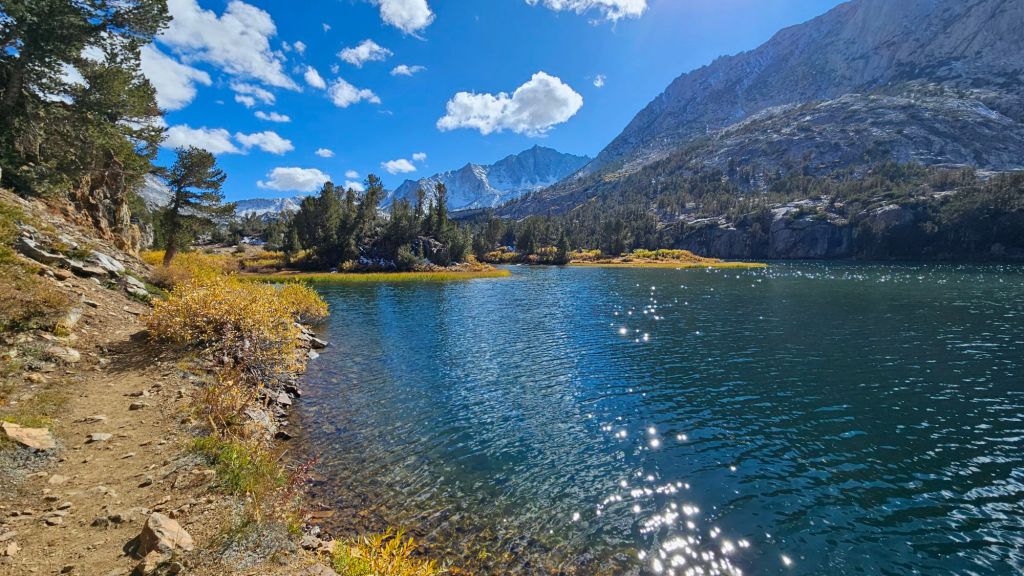
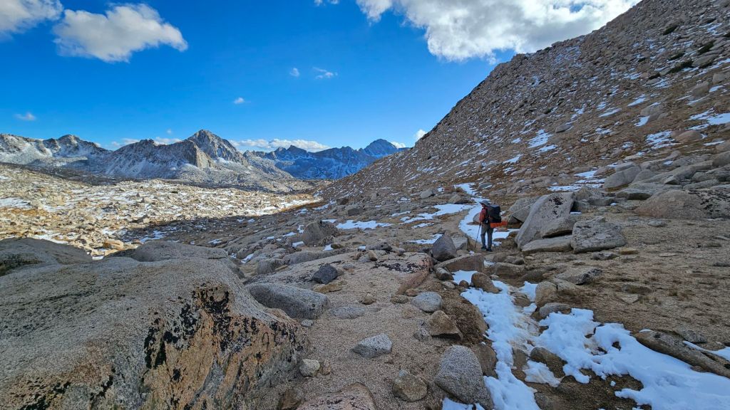
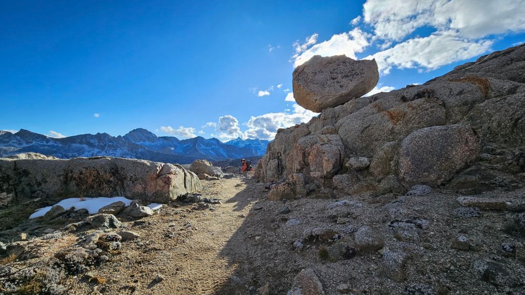
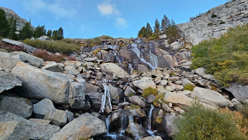
It wasn’t all for not. Bishop Pass was stunning. Just yesterday, we battled with the foot-high snow. Today, it was mostly melted out, and the sky was clear, revealing the tall peaks that surrounded the Dusy Basin. We were astonished by how quickly the snow melted out. This is a good sign for the next few days as we hit some of our highest points on the whole trail. Hopefully, the trail will be mostly snow-free and easy-going.


We heard from some hikers going into Bishop that a snow storm was expected to hit in five days. A JMT hiker in the group was getting off trail and quitting his hike for that reason. Our plan is to clear the high Sierras in three days. If the weather holds and we hit our plan, we’ll be out of the woods before a potentially pass-closing storm hits. Apparently, last week was just a dusting. We have our satellite phones to get weather updates, and we asked some people in the outside world to let us know if the weather appears to be moving in more quickly than expected, so we could bail before we get caught in a blizzard.
