October 2
Distance: 25 miles | Ascent: 4650′ | Descent: 3760′
Lunch: J – orange chicken (C+), A – chicken teriyaki (A+
Dinner: J&A – mac n cheese (A, B+)
We heard the alarm from the other tent synchronize with our alarm at 5:30. While we scrambled to quietly pack, the other tent must’ve hit snooze and gone back to sleep. We didn’t have such a luxury. We have miles to crush. It’s time to hike!
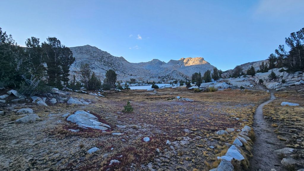
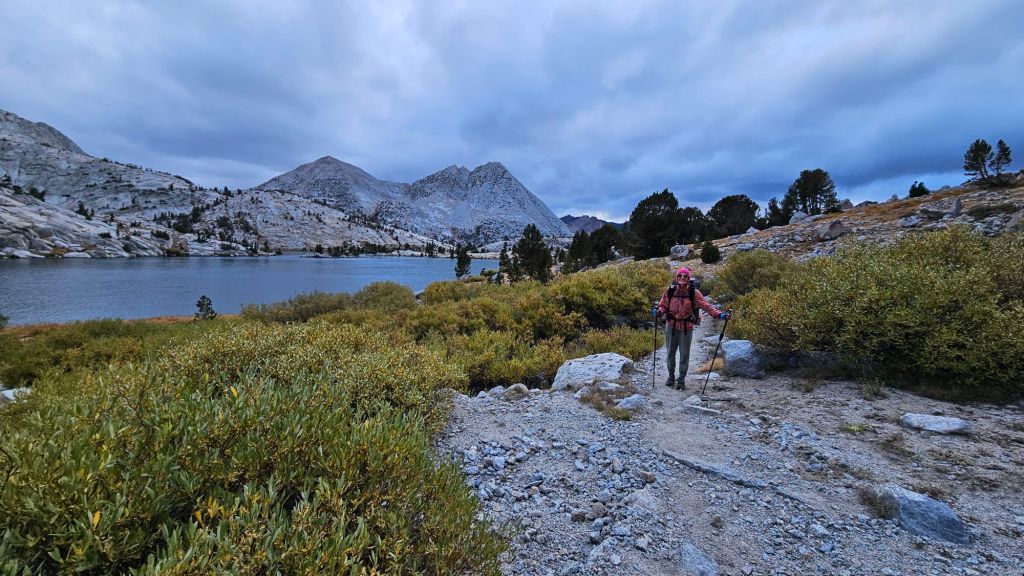
By the time we left, enough light was reaching from beyond the horizon that we didn’t need headlamps. We’d still be in the shade of the high ridges on either side until we reached Seldon Pass.
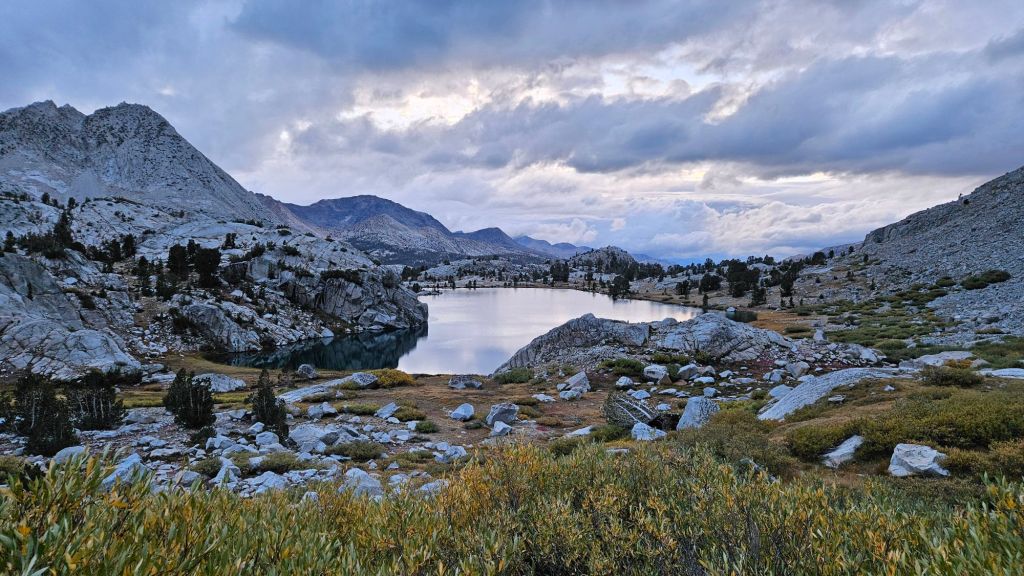
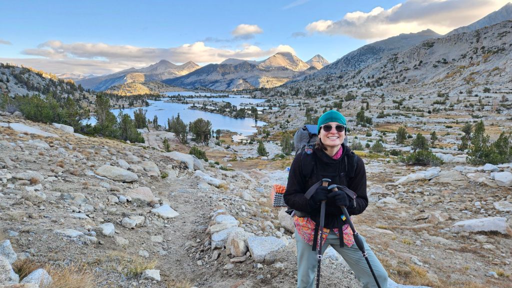
Along the way, we passed by a lake and saw two other hikers, a French couple, we’ve been keeping pace with since early Oregon. They were huddled over their breakfast in layers of warm weather gear and said we were brave for getting up early in the cold.
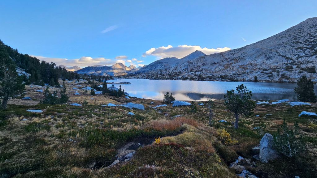
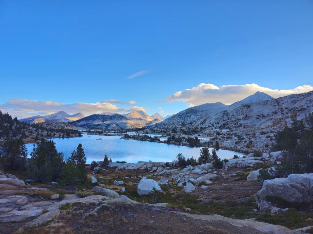
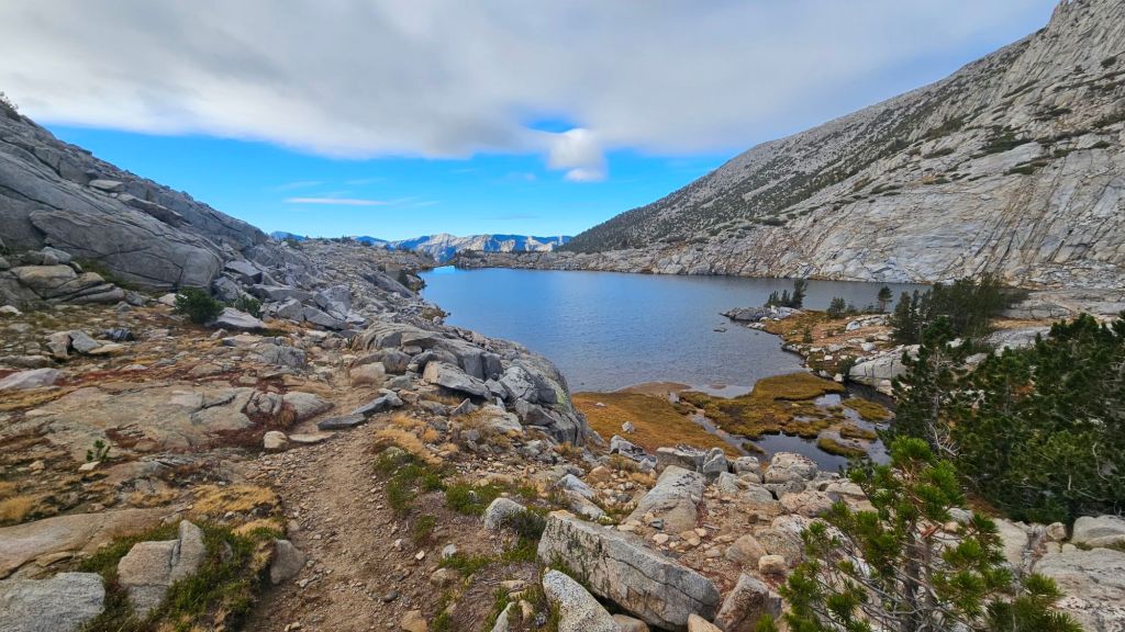
We had brief spot of sunlight on the pass and decided to have our morning coffee admiring the lake below.
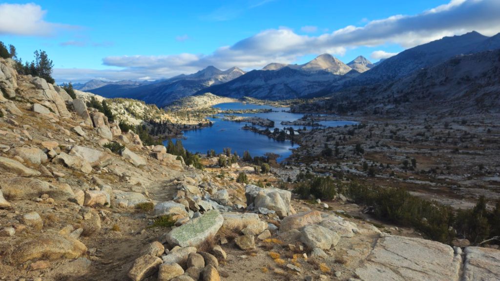
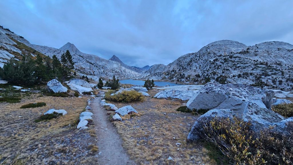
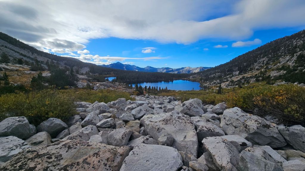
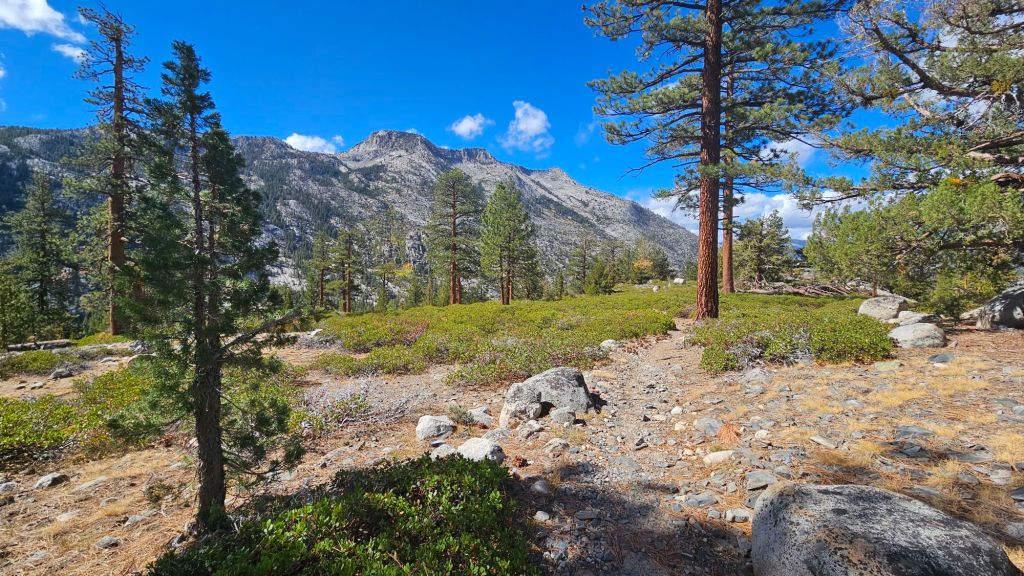
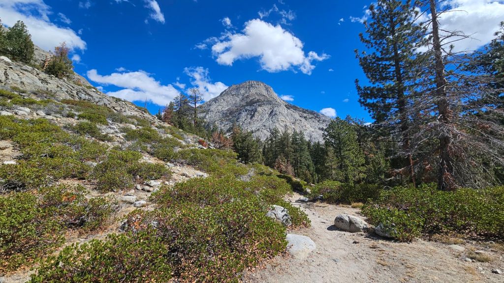
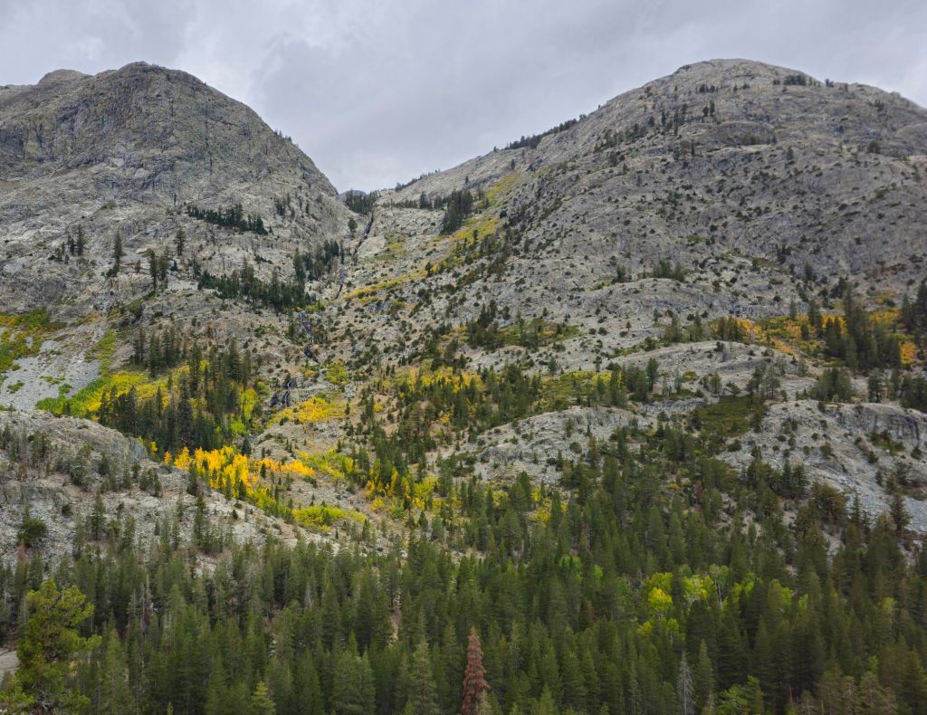
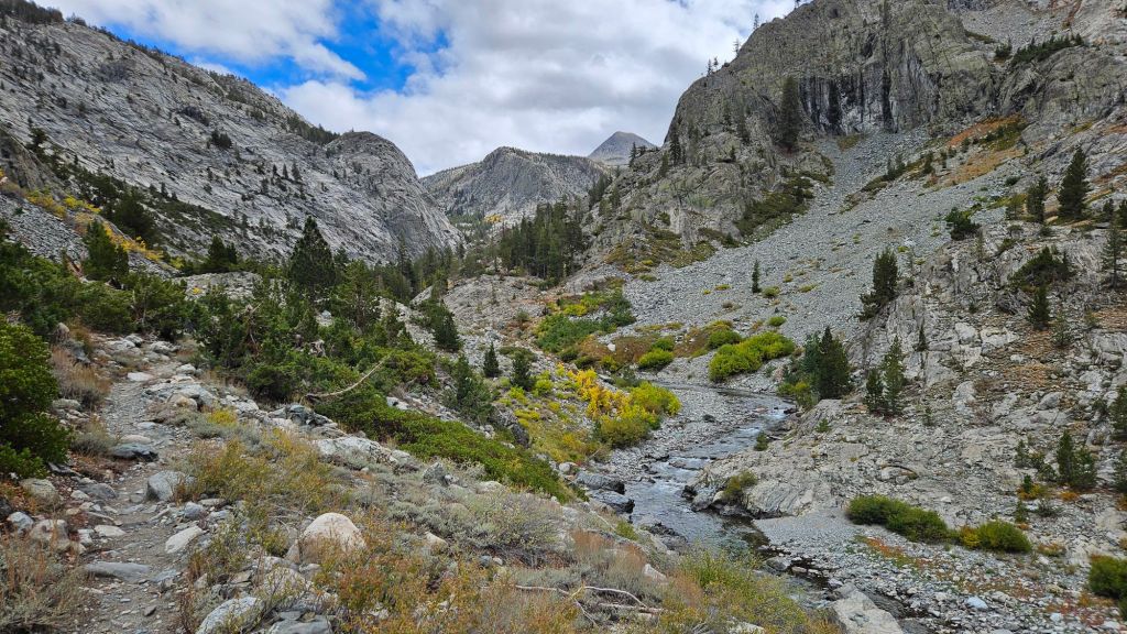
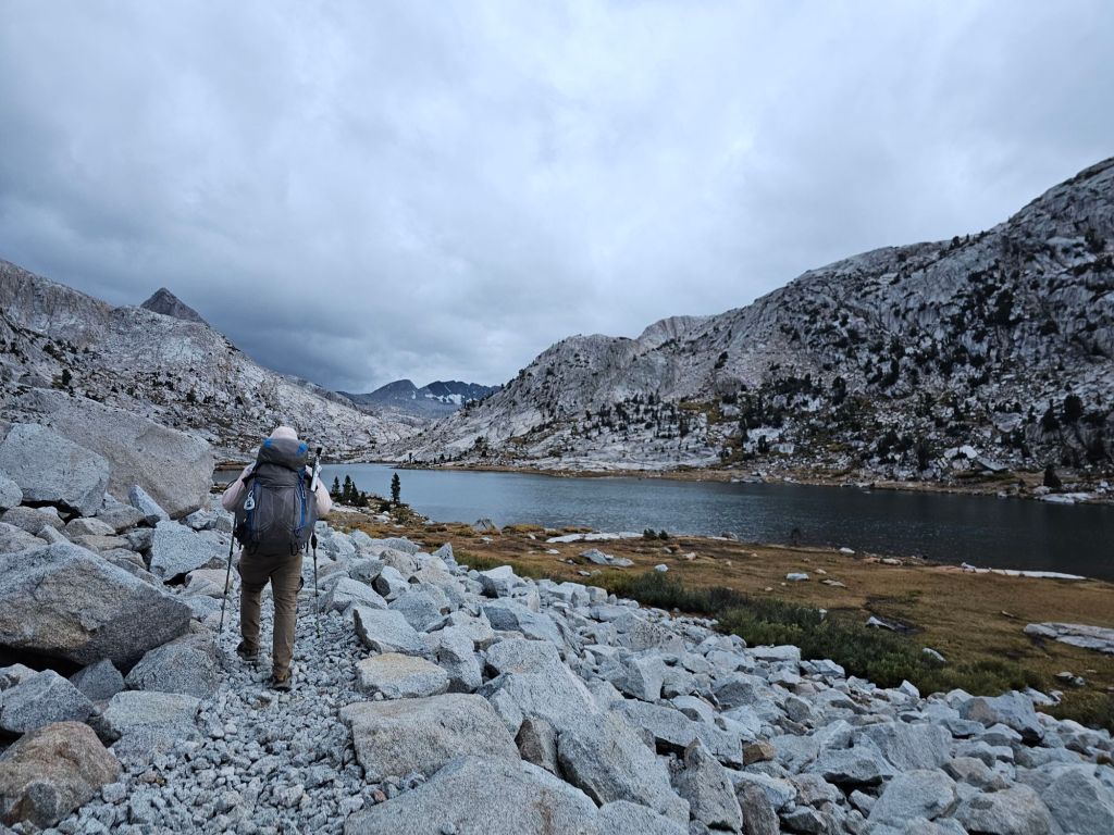
The other side of the pass also offered tremendous views of a narrow valley and distant water bodies.


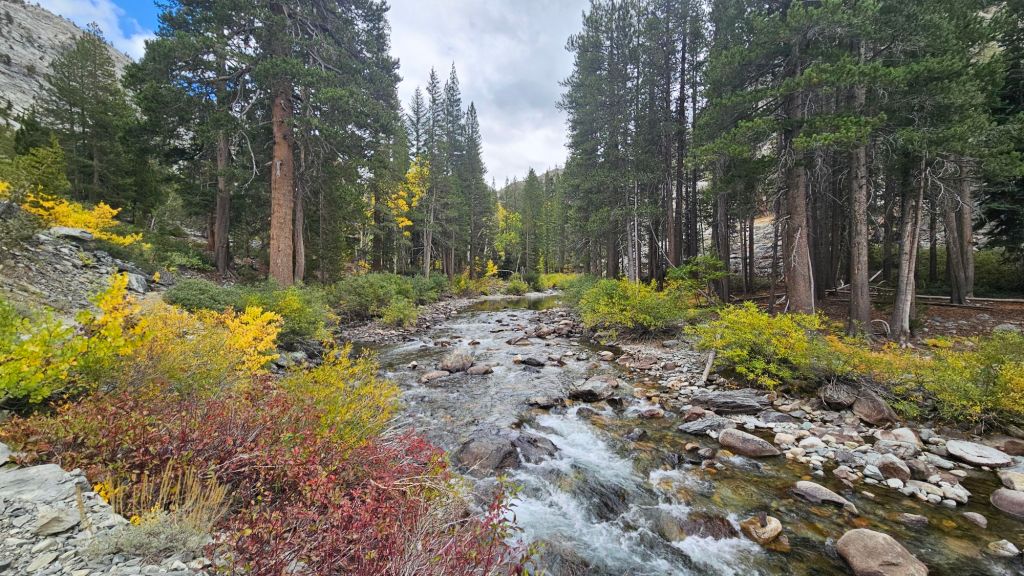
It’s really cool to see how the flora and fauna around a lake change throughout the descent down the valley.
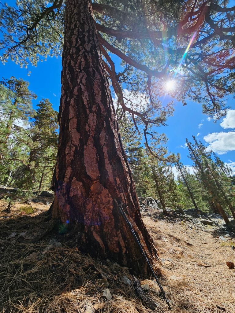
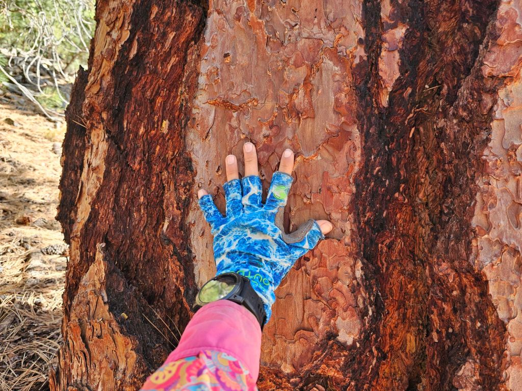
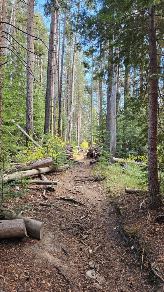
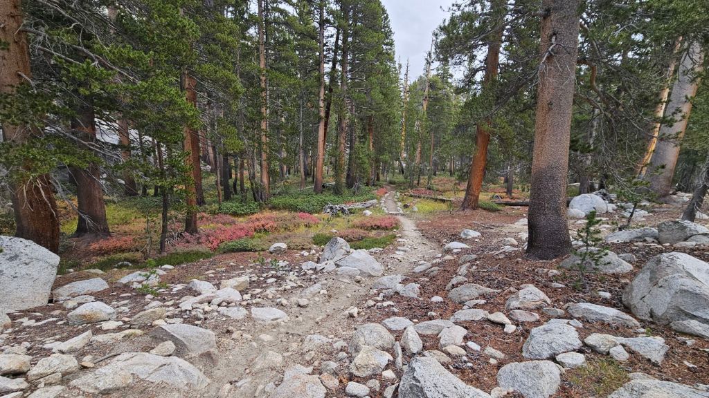
We passed giant trees with chunky bark, an adaptation to help them survive forest fires.
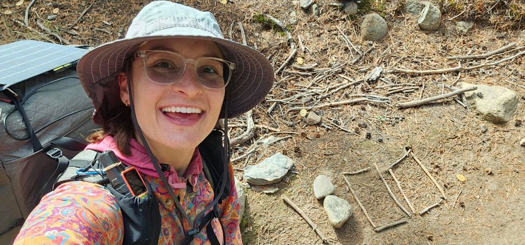
We left the John Muir wilderness and entered Kings Canyon National Park. Somewhere along the line, we crossed 1800 miles! Someone had made a marker from rocks and sticks, but Jason didn’t notice.

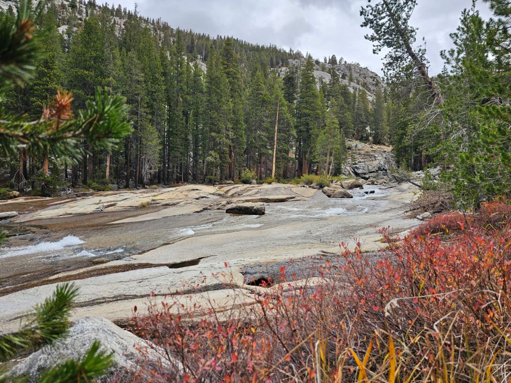
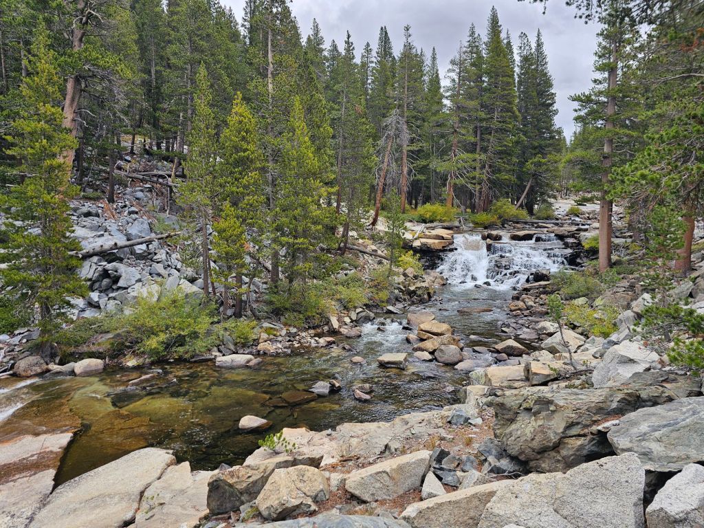
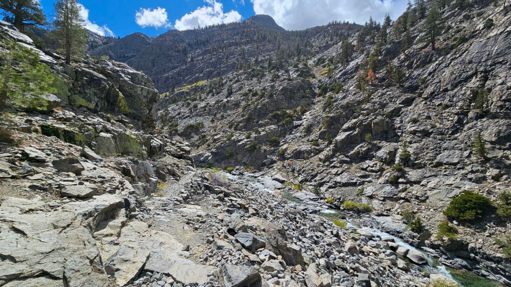
We followed a river fed by numerous waterfalls flowing down the sides of the surrounding mountains.

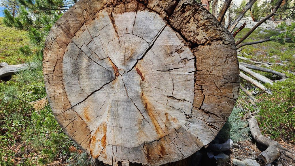
We crossed a cut tree that someone else had presumably counted the rings and written an estimated age: 250-300 years old.
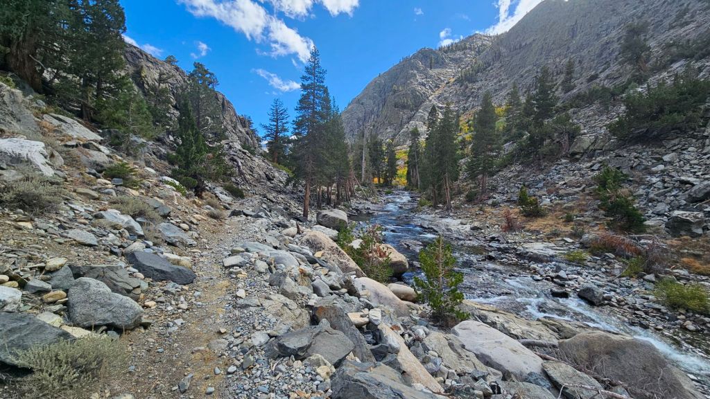
No day in the Sierra would be complete without ascending to a great height. We followed the river course and worked our way into the heart of the valley before going up. It’s always amazing how a valley’s end can seen impenetrable and imposing, but give way as we methodically scale and traverse it’s slopes.


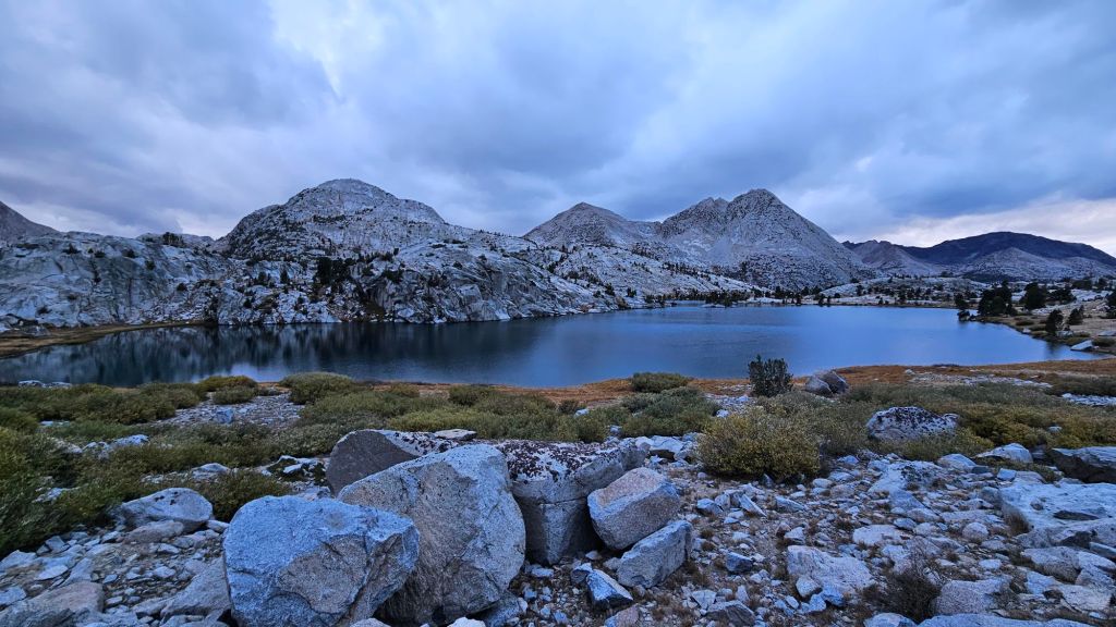
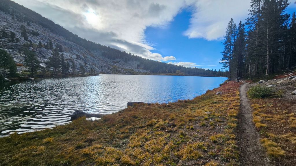
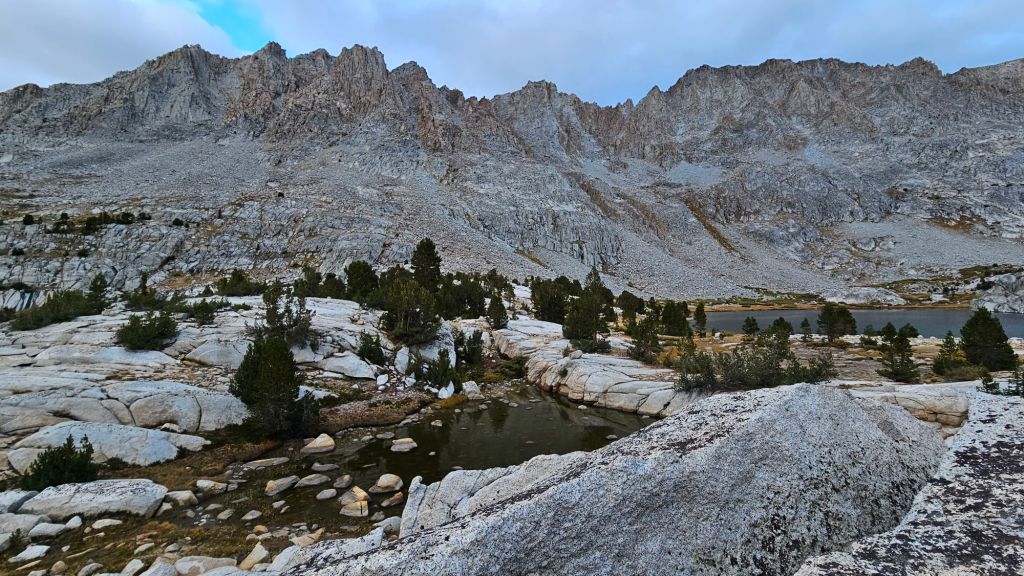
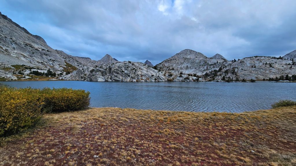
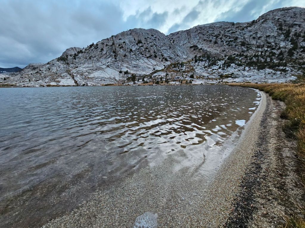
We worked our way up to a high altitude (just under 11,000 ft) lake for camp. The lake had a tiny sandy beach! It was just a few inches wide, so not enough room to deploy a beach towel and umbrella.
We ended camping on a patch of rock and sand, mere feet from the couple we passed in the morning. As we tucked in for bed under grey skies, we requested an updated forecast from our InReach GPS devices (no cell service way out here). When it arrived a few minutes later, it forecast a bit of snow overnight. Huh. Hopefully, we’re not too buried tomorrow to get out in time to get to Bishop.