August 13
Distance: 26.7 miles | Ascent: 3190′ | Descent: 2910′
Mile marker: 815.0
Lunch: J – chicken taco (A), A – Korean beef (A)
Dinner: J – apple cinnamon oatmeal (B), A – spaghetti (A)
Today was probably our easiest day yet. Or at least it felt like it. Maybe we’re getting stronger or learning to ignore the pain. We had time today to finish some of the FAQs.
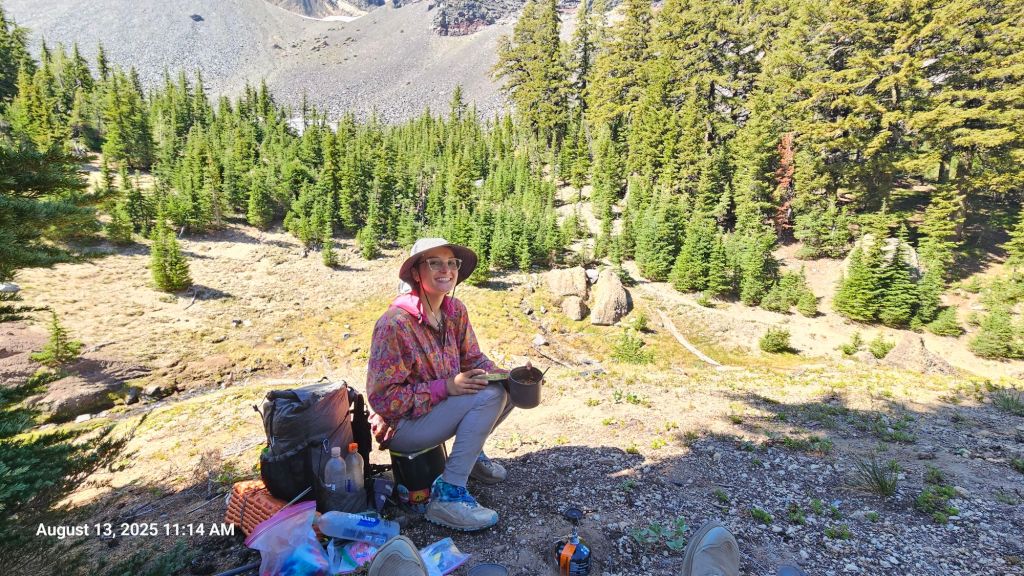
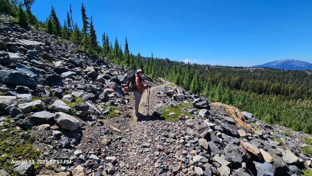
We got a fairly early start to do our big climb for the day. We took a coffee break near the top to admire the view. During the climb, we found two additional 3000 km markers (in addition to the one we saw yesterday). Either we’re walking in circles or people’s GPSs are a bit off from each other.
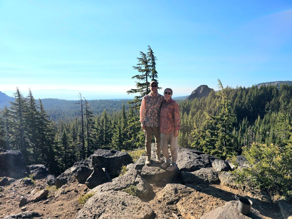
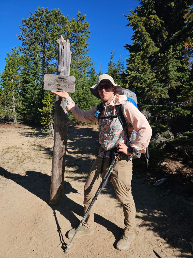
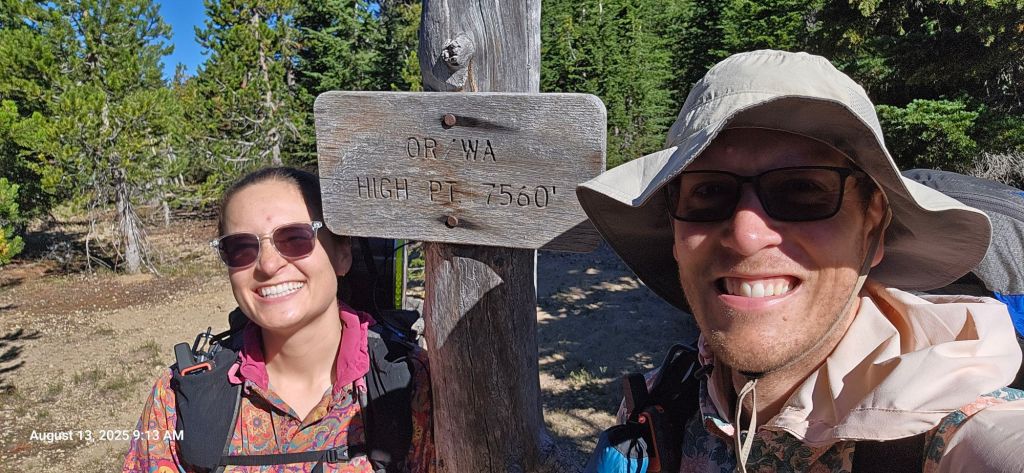
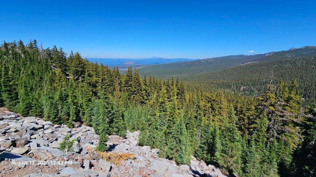
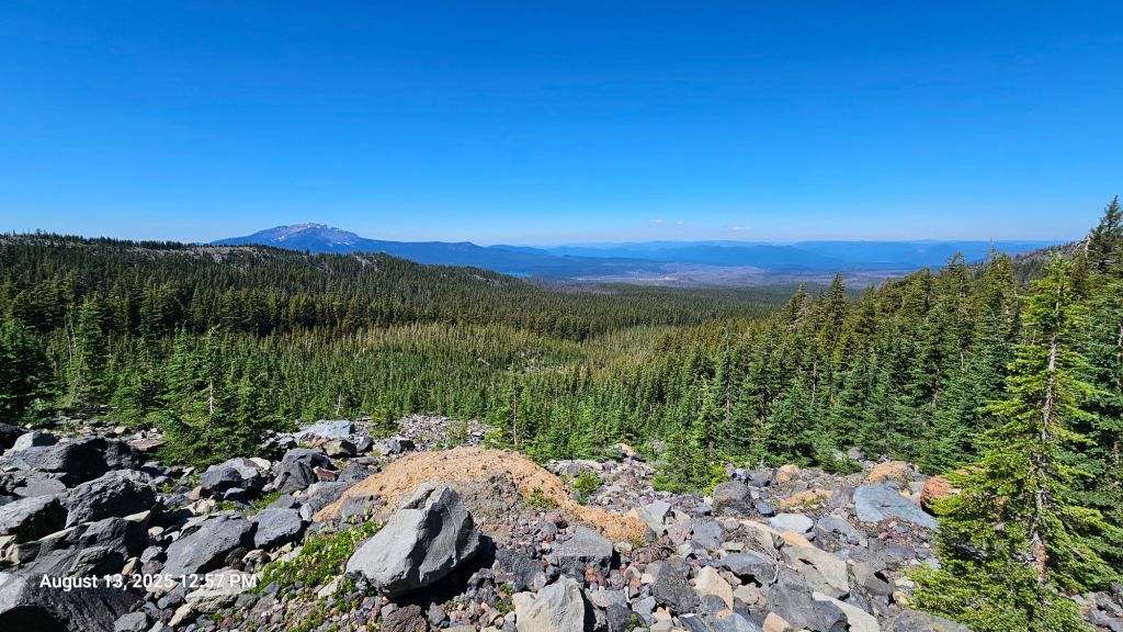
A short while later, we hit our high elevation point for Washington and Oregon. It took us by surprise since Washington was so much elevation gain and loss, we surely thought it would’ve had a higher peak than Oregon. I guess it’s all downhill from here! Until we hit the Sierras, that is.
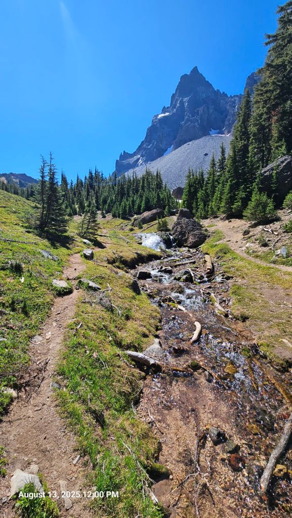
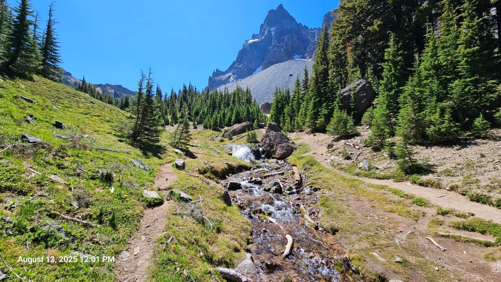
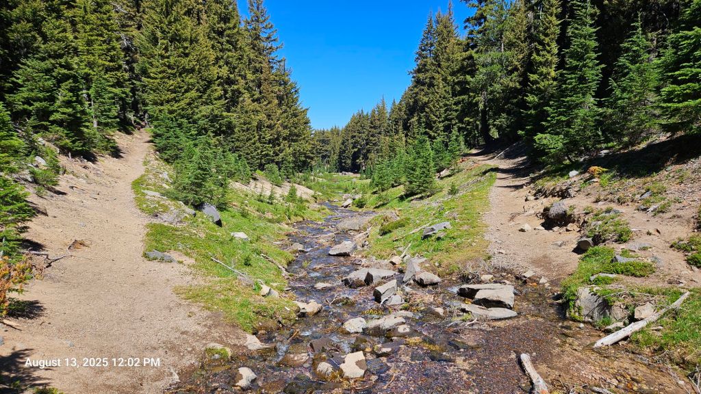
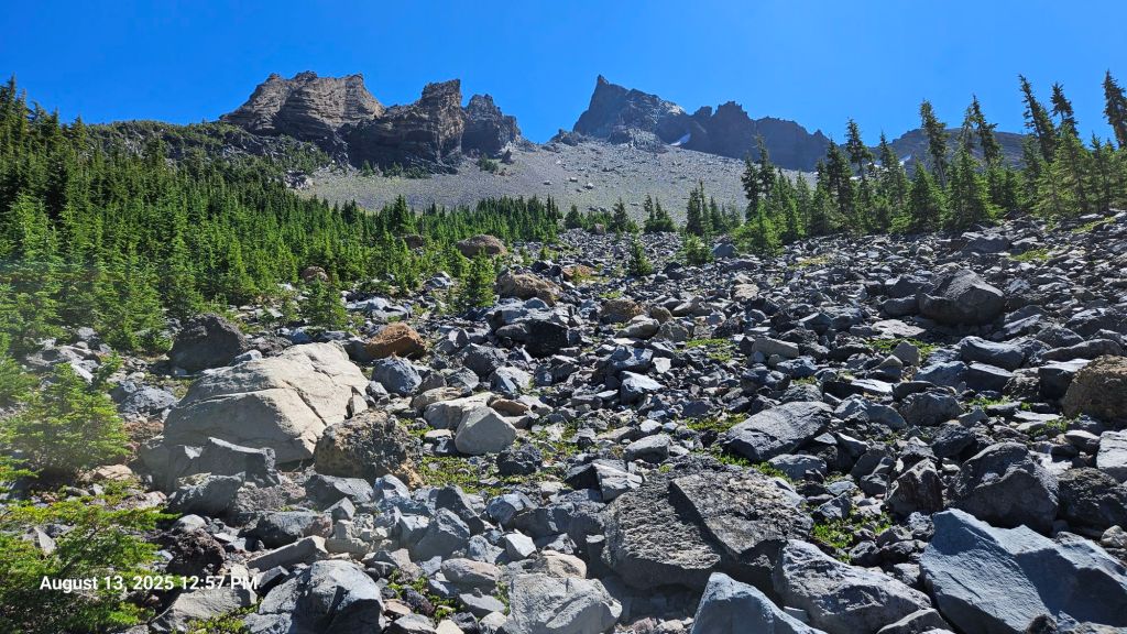
We finally reached Thielsen Creek. Lots of northbound hikers were telling us how great the water was. They weren’t lying. It was an ice-cold flow straight from the snowmelt. Since Oregon had such a snowy winter, this creek was apparently snowed over just a few weeks ago. We had a view of Mount Theilsen as we ate lunch by the creek. Some large-ish birds were flying around, but we couldn’t identify. Maybe kestrels?
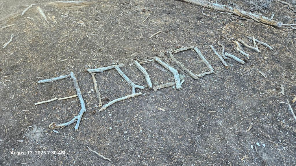
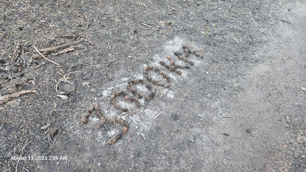
After our long lunch, we continued down trail and crossed our 800-mile mark. Nobody made a trail marker for it, or they did and we missed it, so Alex took the time to make a 800.4 marker since that was our mileage when we realized.

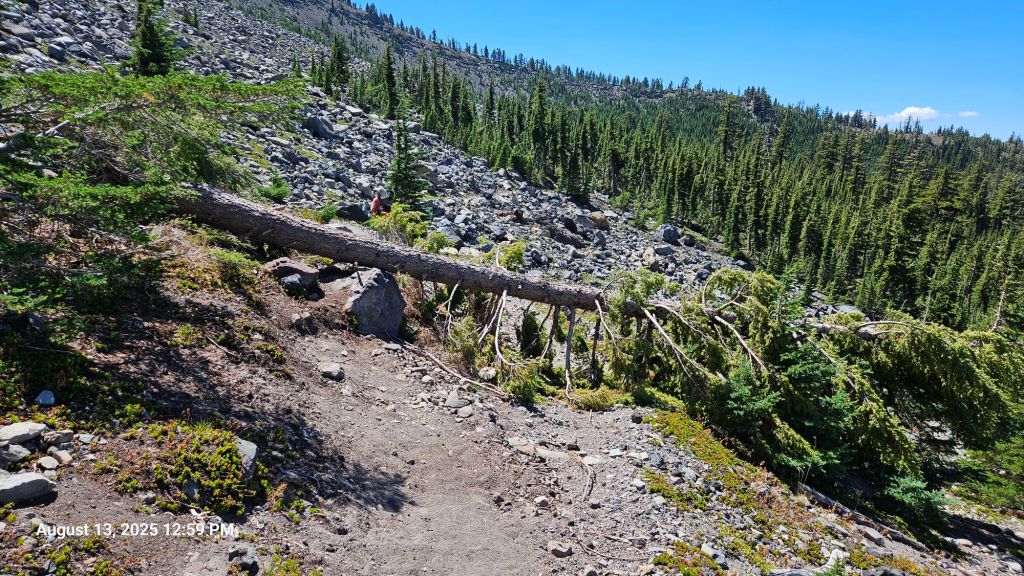
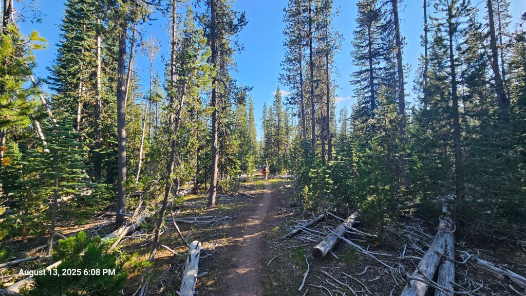
At this point, we had circled Mount Theilsen and had some great views coming down the other side. An occasional blowdown spanned the trail, but all the hurdles were manageable. A picture of one of the more average blowdowns is included below – you can infer why they might slow us down when we’re encountering them often.

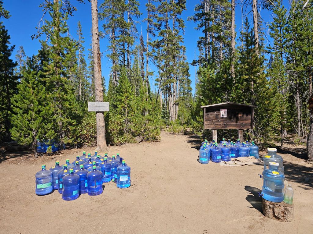
At the bottom, a water cache awaited. It wasn’t a super long carry from the creek, but it was hot and fairly exposed. One person manages this and two other water caches along this stretch in Oregon. Don’t know why or how, but we’re incredibly grateful!
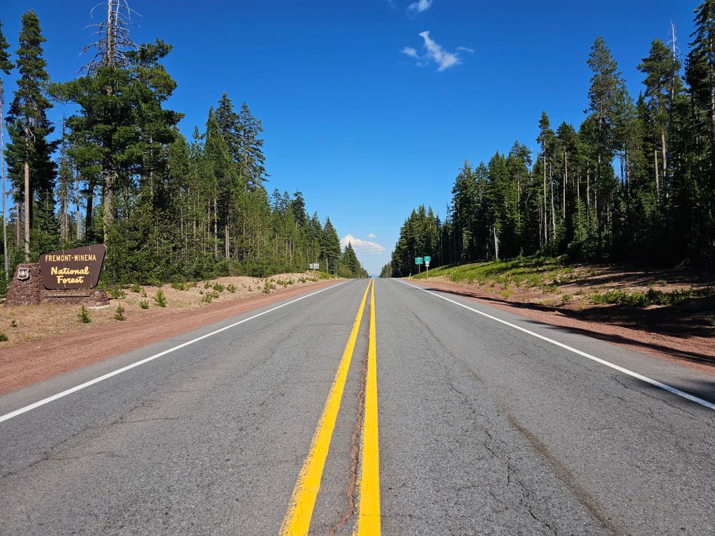
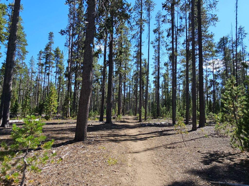
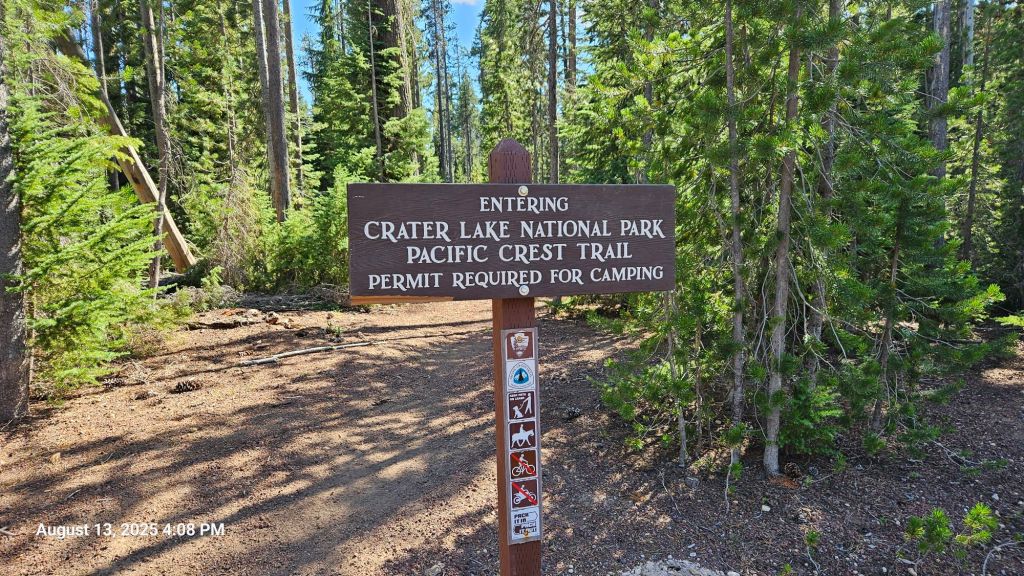
The trail flattened out after this as we made our way towards Crater Lake National Park. We crossed a road, which is always exciting and feels a little illegal. We cruised to our campsite for an earlyish dinner.

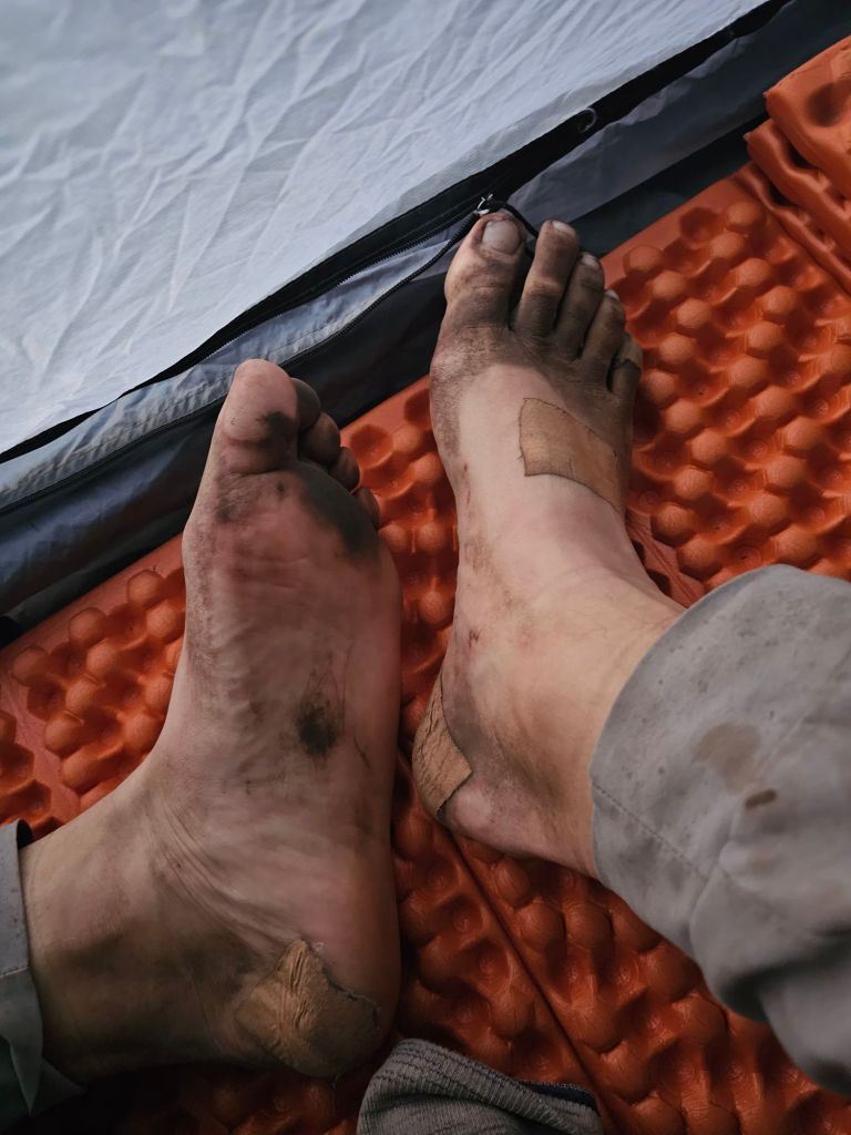


We’re hiking in trail running shoes which are light and breathable. The downside is that our feet get a bit grubby after a long day of hiking. This was today on a relatively light dust day.
