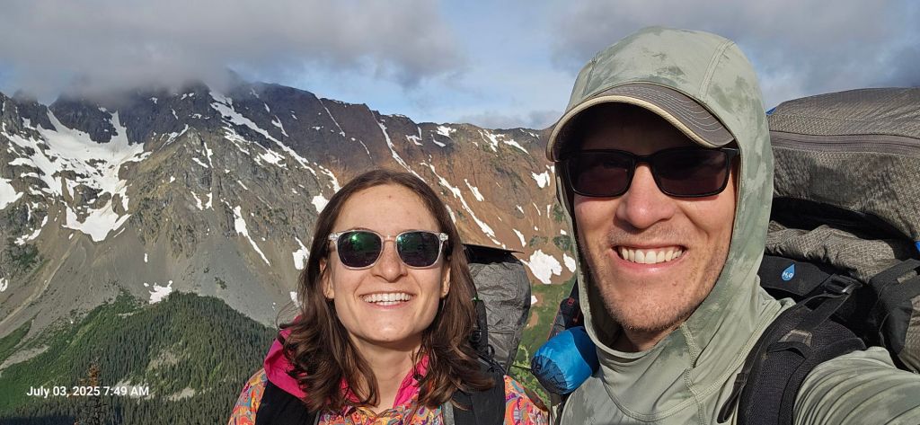
July 3
Not a bad day! We just hit our lowest elevation yet.
Distance today: 17.4 miles
Mile marker: 53.8
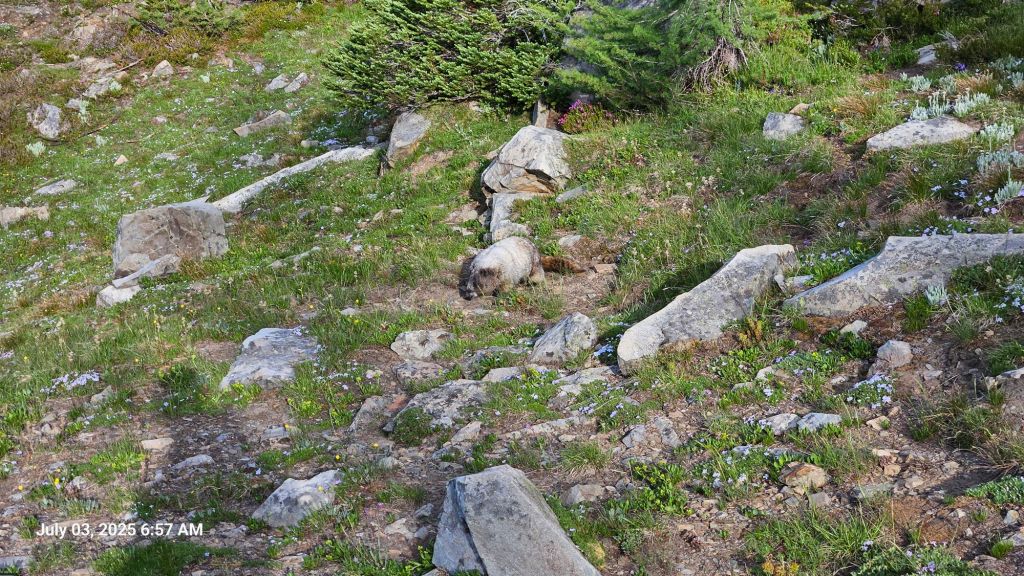
We woke up at camp early to get a jump on the day. Before we left, a brave marmot crept into camp probably looking for snacks.
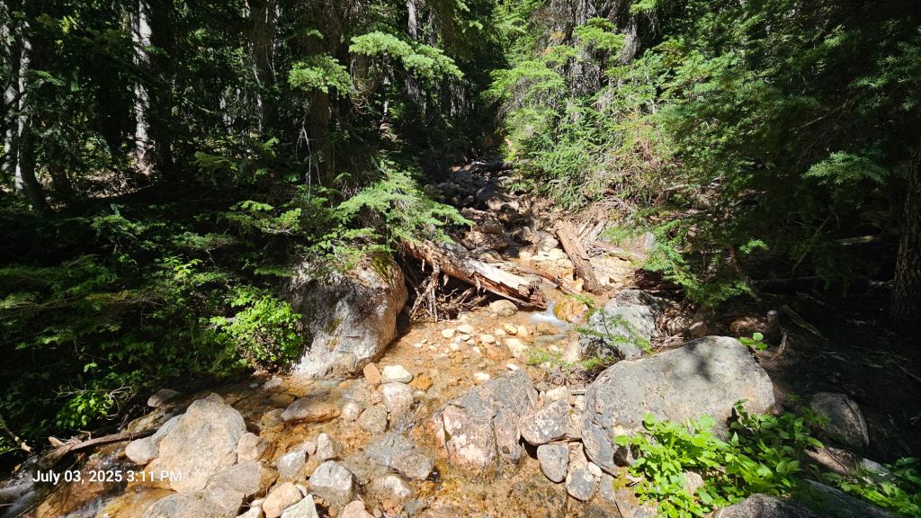
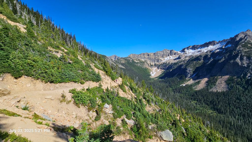
We had a short ascent then a long, long descent – close to 2000 ft. We started on the ridge line, but were bush wacking and climbing over fallen logs by the end. We could hear a river, but couldn’t see it through the bush. Towards the bottom, we saw a sooty grouse family: all the chicks fluttered into the trees while the mom stomped around before taking to the trees herself. We had heard them a few times before and identified them via the Merlin app, but this was our first sighting. When we finally reached the bottom of our descent, we crossed the river and took a quick coffee break.

We had a steady climb up, but not as high as our starting elevation. Along the way, we crossed a few creeks, stopping at one for lunch. Jason had blueberry walnut oatmeal and Alex had tomato penne surprise.
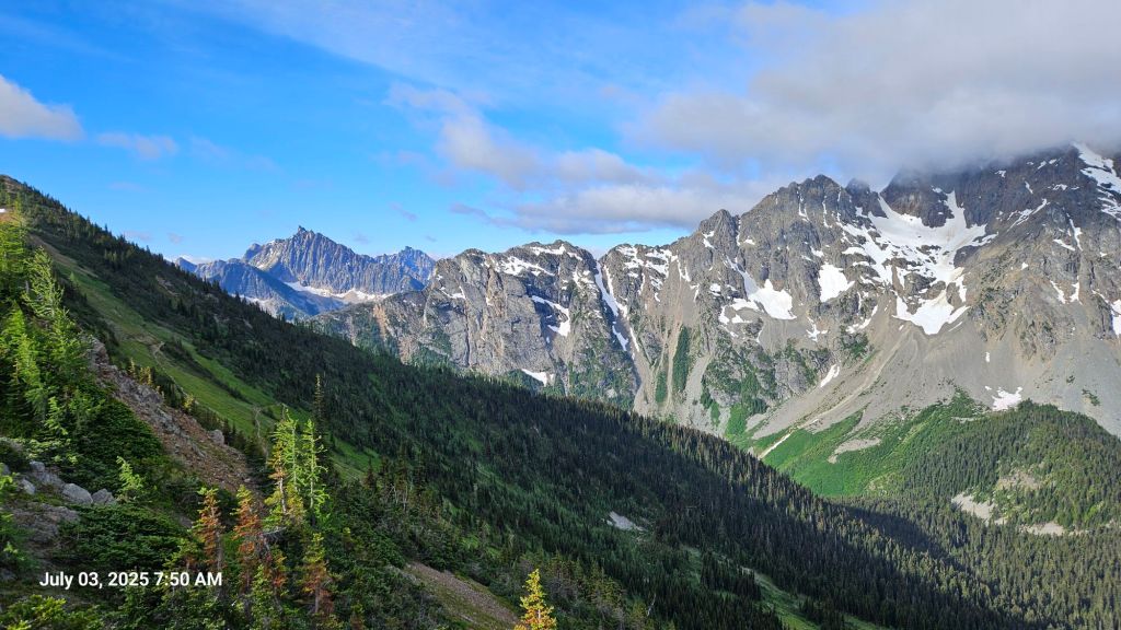
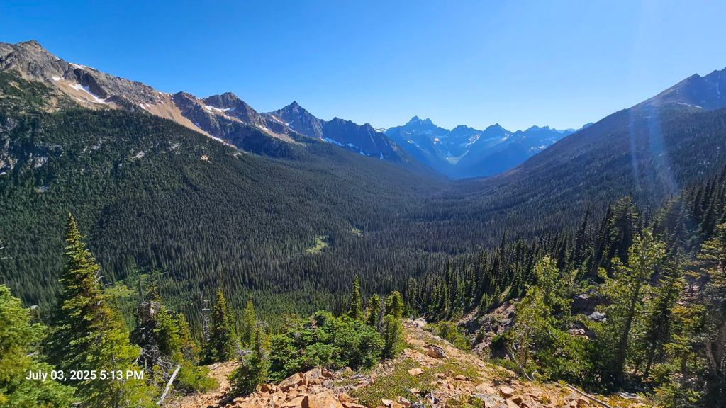
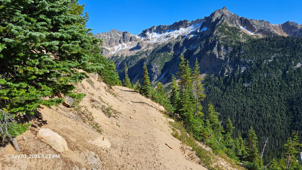
We finished our climb out and were greeted by some of the most spectacular views we’ve had so far. The valley we traversed had peaks, cliffs, lakes, and a panoramic view of our trail. We were planning to camp at the end of the valley, just before crossing over the pass.

We reached camp right before 6pm. Our first chosen spot was too rocky to get stakes in, so we moved our tent and settled in for the night. Jason had Thai peanut noodles for dinner (adding extra powdered peanut butter) and Alex had banana chocolate walnut oatmeal.
Overall we covered 17.4 miles, 3500′ of descent, and 3200′ of ascent. Our muscles are starting to feel the repetition, but we also feel like we’re getting stronger.
We have two short days ahead as we near our first town stop in Stehekin. Those days will be mostly downhill, too. We’re looking forward to the shower and small break to rest and prepare for the long carry following.
